
- +91 9503666660 / 9823123633
- ☰
- Home
- About Us
-
Products
Global Mapper Global Mapper Pro Digital Elevation Data Drone/UAV Agisoft Metashape
(Formerly known as PhotoScan) Surfer GEO5EnviroInsiteGeographic Calculator GMS | SMS | WMS MAPublisher Geographic Imager Final Builder- Services
- Contact
Spatial Modeling & Analysis
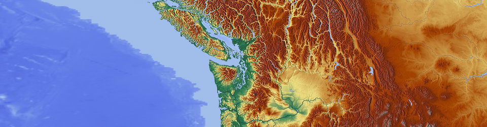
Spatial Modeling and Analysis is the process of modeling, examining, and interpreting model results. Spatial analysis is the process of extracting or creating new information about a set of geographic features. The technological advances of the recent past, e.g. increasing graphics capabilities, multimedia technology, multimodal interaction possibilities, distributed computing, wireless communication and efficient geo-data compilation practices, have lead to many new possibilities for communication with and visualization of spatial data. Spatial analysis is useful for evaluating suitability and capability, for estimating and predicting, and for interpreting and understanding.
In GIS there are four traditional types of spatial analysis:
- Spatial overlay and contiguity analysis
- Surface analysis
- Linear analysis and
- Raster analysis
Schnell is having expertise in providing world class and cost effective Spatial Modeling and Analysis services. Our services address the growing need of various industries for effective compilation and management of information for better decision making.