
- +91 9503666660 / 9823123633
- ☰
- Home
- About Us
-
Products
Global Mapper Global Mapper Pro Digital Elevation Data Drone/UAV Agisoft Metashape
(Formerly known as PhotoScan) Surfer GEO5EnviroInsiteGeographic Calculator GMS | SMS | WMS MAPublisher Geographic Imager Final Builder- Services
- Contact
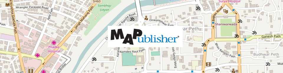
MAPublisher
MAPublisher - Cartography software
Schnell is preferred partner of Avenza Systems Inc., Canada for marketing its product MAPublisher in India. MAPublisher transforms Adobe Illustrator into a powerful cartographic authoring tool. It bridges the gap between Geographic Information Systems and graphic design.
MAPublisher adds over 50 map and data import, export and editing tools to Adobe Illustrator so that anybody can create great looking maps. Import the most widely used GIS data formats, including those from Esri, MapInfo, FME Desktop, AutoCAD, Google and the US government with all attributes and georeferencing intact. Retain fully functional and editable maps to merge data sets, change projection and scale, crop, label, add legends, index, automate tools in a workflow, and register raster imagery. Even create interactive web maps in HTML5 and Flash to share online, and export to Geospatial PDF
Partial Summary of Tools and Features
FeatureDescriptionImport and ExportImport : Esri Geodatabases, SHP, e00, GEN, GeoPDF®, geospatial PDF, MIF, TAB, DGN, DXF/DWG, SDTS, TIGER/ Line, CSV/TSV/TXT, DLG, GPX, GML/XML, KML/KMZ, S-57, XLS, WMS, WFS and images with reference. Include FME Desktop support with the MAPublisher FME Auto add-on.
Export : SHP, e00, GEN, TAB, DGN, DXF, DWG, GML/XML, KML/KMZ, MIF, GeoTIFF with reference, geospatial PDF. Export interactive Flash and HTML5 web maps for online publishing. Maps can include hover callouts, pop-ups, layer controls, and pan and zoom controls. Highly customizable using JavaScript API and CSS references.Projections and Coordinate SystemsSupport for thousands of unique coordinate systems ncluding user-defined and custom systems. Perform drag-and-drop coordinate system and projection transformations. Automatically detect projection upon import and perform simultaneous multi-layer reprojection. Advanced coordinate system editor for easy, on-the-fly editing of existing coordinate system database. Add georeferencing to unreferenced data.Map PropertiesOrganize and manage MAP Views. Copy MAP Objects from other documents, scale, project and shift map data with the ability to preview both thumbnails and coloured extents for more precise map placement. View and navigate map attribute data in easy to read tables. Edit, create, delete, join and query (using an expression builder) attribute data and tables. View geographic extents and coordinates in the MAP Info panel. Create MAP Locations to reference artboard and real world locations.Data CreationPlot points, lines and areas with high geographic precision (projected units, decimal degrees, or Degrees Minutes Seconds). Plot coordinates to draw lines, include direction and distance. Use MAP Locations with Georeferencer tool to reference map documents interactively.GeoprocessingJoin areas, join lines, join points, simplify art, vector crop, buffer art and flip lines. MAPublisher supports Bezier curves when importing from other formats. Douglas-Peucker algorithm preserves line topology.OrganizationCreate MAP Selections (spatial, attribute and selection filters) to effectively select and query data. Build and store queries in the Expression Library. Split features into separate layers based on attributes. Merge separate layers into a single layer based on attributes.Thematic ToolsCreate and manage MAP Themes to apply Adobe Illustrator graphic styles and symbology based on map data attributes. Create halos around features including text. Scale and rotate features independently or together using attributes. Fine-tune dash offsets with precision.LabelingAutomatic feature labelling using map attributes or tag individual map objects, label text along paths, and label with leader lines using preferences such as label position, text size and alignment (along lines of latitude). Create label masks or knockouts to easily hide labels placed on lines. For more control over labelling, use MAPublisher LabelPro®, a collision-free, rule-based text placement add-on.Legend ToolsCreate highly customizable indexes, grids and graticules for any projected or geodetic MAP View. Easily export an index of features to a text file. Create and customize north arrows and scale bars.CompatibilityAdobe Illustrator on Windows and Mac (see Avenza website for latest compatibility requirements).